Follow me on ...
Search
Twitter

Entries in aerial photography (9)

7:45PM

The Lone Droner

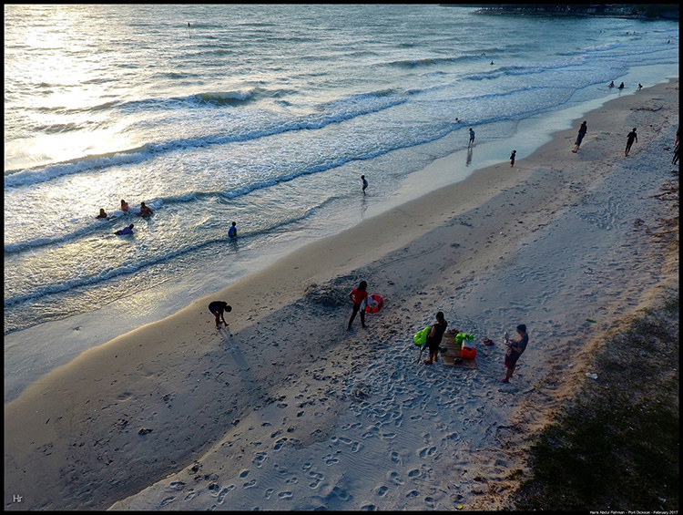
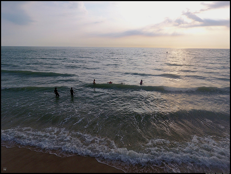
The weather on the two afternoons we were in PD was great. And the tides were high before sunset when we went to the beach. That made for some nice strong waves and great condition to hit the sea. The boys certainly enjoyed it.

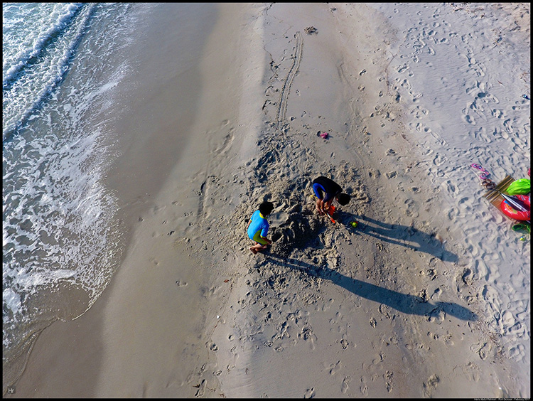
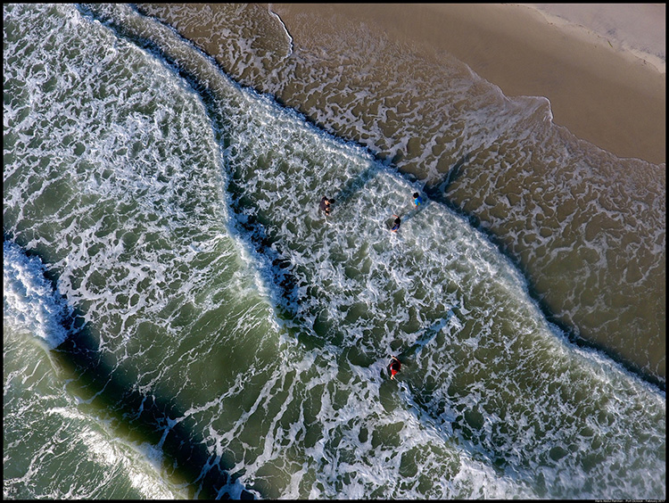
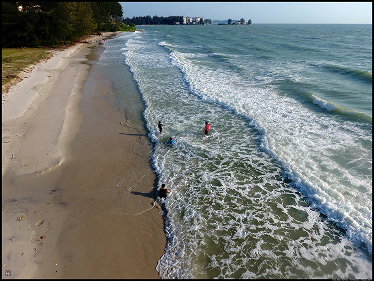
The warm sun contrasted well with the cool sea water - sunscreen needed of course. Once you got in, you felt like staying in all day since to was really nice and refreshing in the water. The great breeze also was an added bonus.

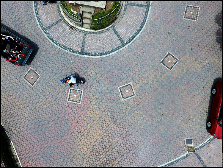
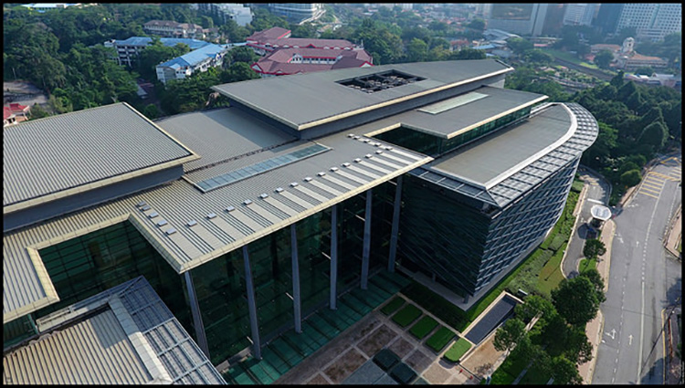
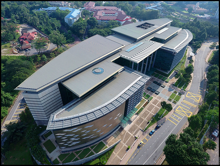
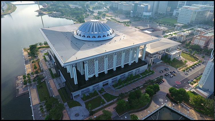
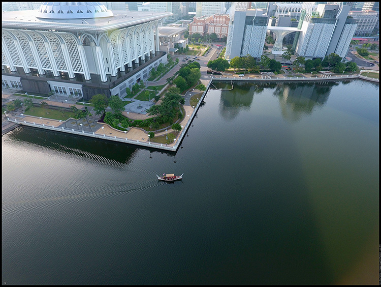
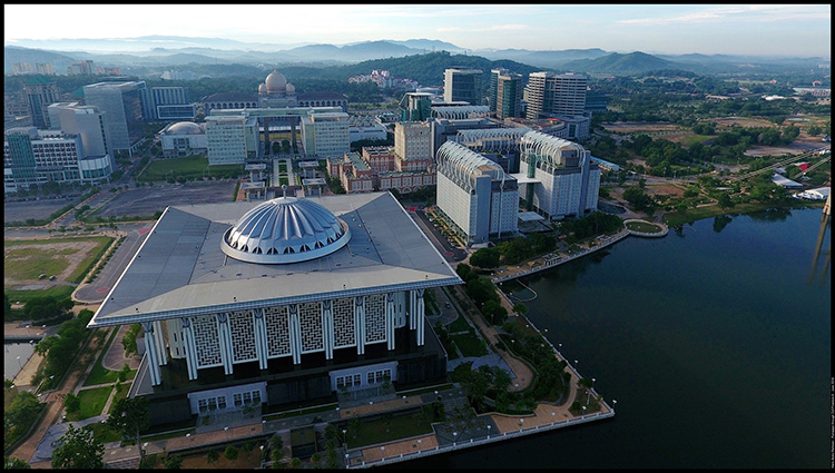
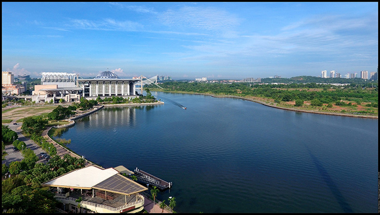
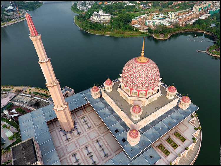
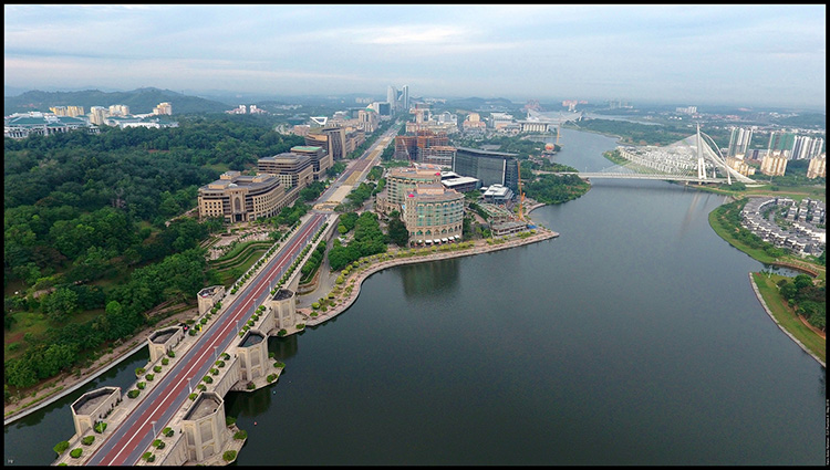
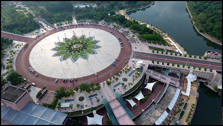
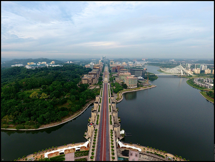
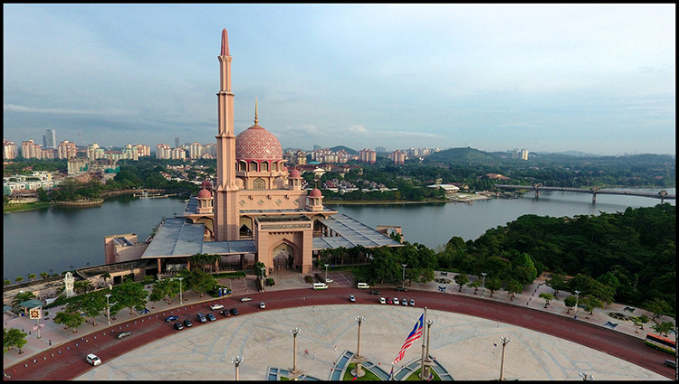
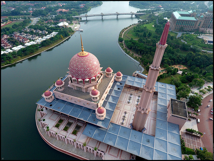
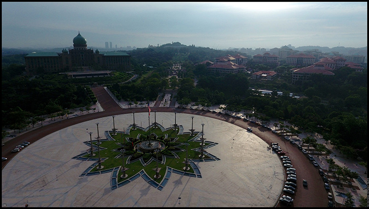
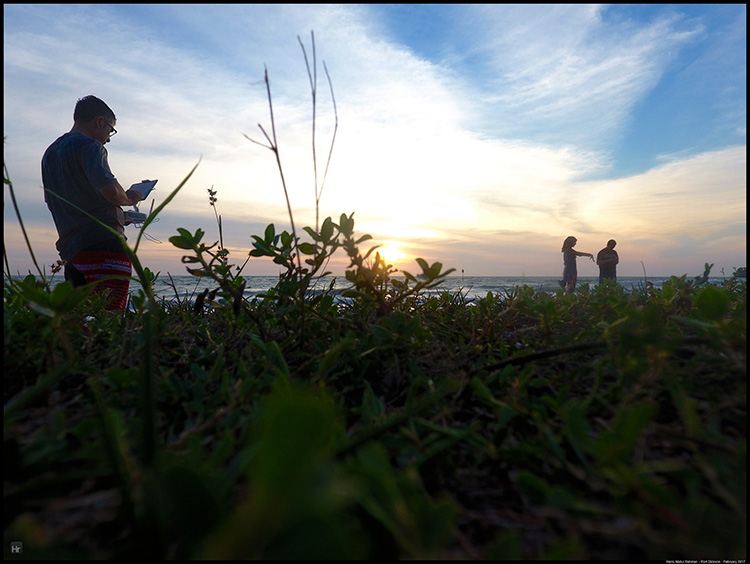
But somebody had to fly the drone. Despite the heavy breeze, the drone held its position well and flying was not a problem at all.

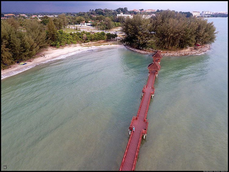
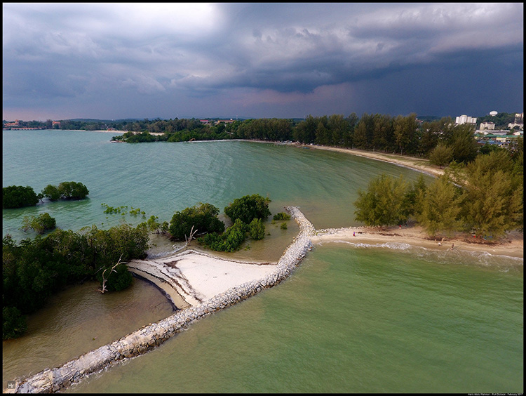
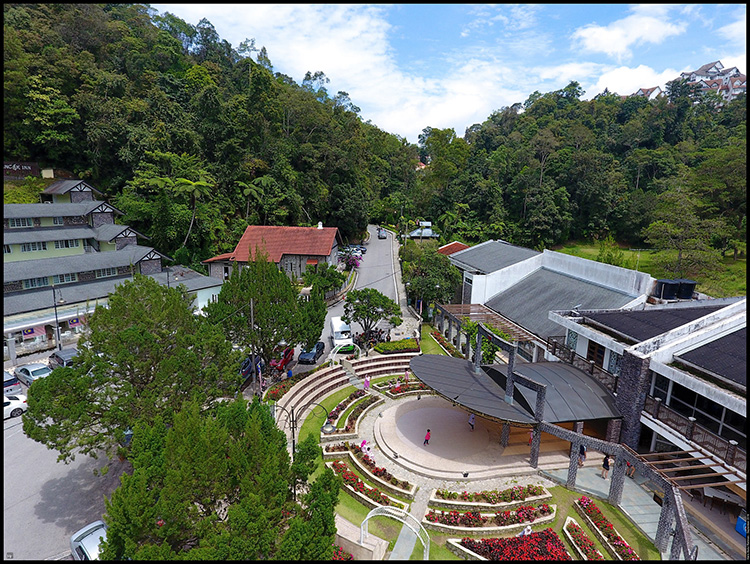
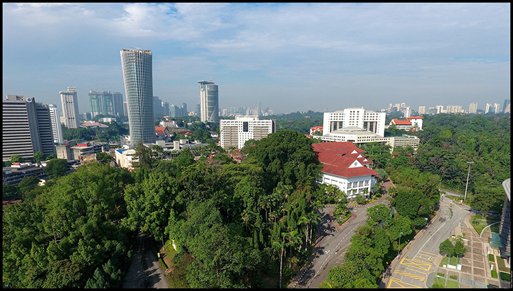
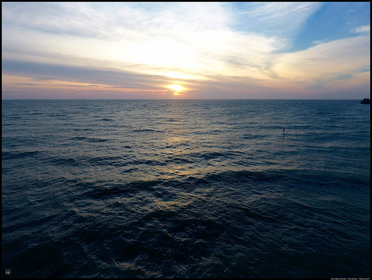
I managed to get some great 4K footage and the customary photographs as well. Unfortunately there were clouds on the horizon, hence I was not able to get the red sunset as the sun kiss the horizon. I was happy enough however.

I brought the drone out on both afternoons and managed to fill up my memory card. Good thing I brought the charger along, otherwise I would be out of juice by the end of the first afternoon.

Now came the part of doing editing on those huge 4K files ..... That could wait I supposed ....

Related Posts Plugin for WordPress, Blogger...

9:44PM

Flying over The Clocktower

*This entry was written during my trip to Fraser's Hill in Sept 2016*

I finally got my wish. After the morning trip into town was fogged over, I was happy that the clouds parted when I went there again - with Anita this time after our trekking at Bishop's Trail.

From another angle looking towards Puncak InnTurning towards the Post OfficeWatching from the top of Puncak InnOff came the drone and I managed to fly around the clock tower, Puncak Inn, down towards the main road leading up into town as well as the golf course. Then came the warning that I was running out of memory space.

Straight from the topPanning towards the way to SmokehouseBut that was after I managed to hover around the famous clock tower a few times. With the sun coming out and plenty of people mingling about, it was quite a spectacle. Good times.

Related Posts Plugin for WordPress, Blogger...

8:55PM

Sasana Kijang

Passing by Jalan Kuching everytime I travelled from Gombak to home, I noticed a modern-looking building right up the hill around Kenny Hill.

After reading about it, I found out that it was called Sasana Kijang, a museum owned and operated by Bank Negara. It showcases old money and information about economics, something which I may visit in the future. It was also then that I realised that one of my friends worked there full time as an artist.

But the modern architecture was what attracted me, and since I had some spare time in the morning, I decided to take my drone there.

It was rather tricky to get a good angle to photograph the building as the was nestled in between trees. The only way to get a decent photo would be to fly high and photograph it obliquely at an angle. I got a few decent snaps but in the end concentrated more on the city skyline. The lights were against me as I was in the West of the city. Harsh light was coming towards the drones and the contrast was too great. Best to come back here in late afternoon when the lights would be behind me.

What did I learn this time around? It was tricky to capture a building in small space, plus it was important to plan on the time of the day to go out to photograph ....

Related Posts Plugin for WordPress, Blogger...

7:20AM

Masjid Besi

This entry was originally written in June 2016

This mosque was one of the icon of Putrajaya, and formally named after the last Yang Dipertuan Agung, Tuanku Mizan Zainal Abidin. Due to it's metallic structure, the locals referred it as the Iron Mosque, or Masjid Besi. It was certainly a sight to behold. And in terms of photography, one hope to capture it at night.

But logistically, it was quite tricky for me to do that. Maybe on of the evenings leading up to Raya I might do just that. But for the time being, it was best to enjoy the flight whenever the weather permitting after a couple of failed runs prior to this.

The mosque was located at the edge of the lake and it was to try to capture its beauty at a height and away from the structure, hoping to catch a reflection of the beams on the lake. Luckily I managed to do that on a couple of shots but I thought for the best angle, maybe a sunset flight would have been better, while putting up base on the opposite shore of the lake - maybe Ayer@8 would be a good idea.

Perched next to it was a couple of bridges, one left incomplete while the other named Seri Saujana Bridge formed its background.

Lesson from the flight? Best to pick up your base station away from big structures such as the mosque as you would have a better luck getting a better angle while maintaining a line of sight with the drone to make sure a good radio connection with the controller unit.

Related Posts Plugin for WordPress, Blogger...

11:07AM

More Exploration

This entry was originally written in May 2016

It was Sunday morning and after gaining confidence from the flight at Marina Putrajaya the evening before, I decided to return to Putrajaya, but this time around, I picked a more conventional spot. It was Dataran Putra, right in front of the Prime Minister's Department and the famous Masjid Putra.

I arrived there quite early, when the sun was still low and hidden behind the hills and low clouds. I took the time to plan my route. I realised that to get some good light for the Masjid, I had to approach from the opposite site, far too close to the Prime Minister's Office.

So, I decided to take the high route and flew high to get a clear connection to the drone while taking the footage. It worked out great in the end and when the sun finally came out, the light was brilliant.

Apart from the Masjid, the actual Dataran Putra - basically a roundabout - was also a vista. I also flew across the lake to look at Istana Darul Ehsan as well as Jambatan Seri Wawasan.

The Istana was a gift from the Federal Government to the Sultan of Selangor for giving away the land - Putrajaya - to the Federal Government to build this administrative centre. It was clear from the aerial view how well the whole township was planned. There were still plenty of space and there were areas which were still not fully developed. The public transport over there was still a problem with the initially-proposed tram system not coming into fruition.

What did I learn from this outing? Basically how to plan for the routes for great light when flying the drones. Angle was everything as you were at the mercy of available light when you take photos of such buildings.

Related Posts Plugin for WordPress, Blogger...